
SSI received funding from Sky Island Alliance (SIA) in 2014 to survey and map springs in the Sky Island region of the southwestern United States and northern Mexico. Below are two maps depicting the regions included in SIA’s projects, and the springs mapped and surveyed by SSI thus far.
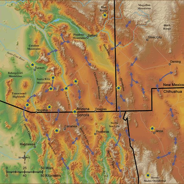
Interactive Map depicting Sky Island Alliance's regions. Click image to go to interactive version.